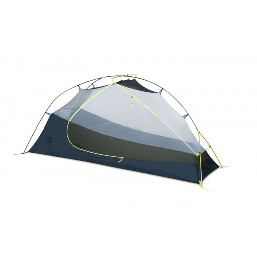
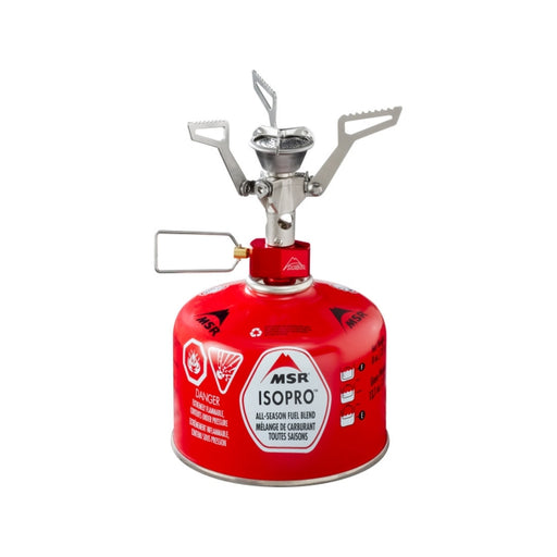
This is a route that spans over 200kms and is best suited for a duration of 2-3 days. Camping on this route is split between crown land, provincial parks and conservation areas - choosing how and where to camp is up to the rider. There are plenty of food sources along the way, be it general stores, markets or chip trucks - water can be found anywhere with a water filter. This route is rugged and remote but best suited on an all surface gravel bike - 38c + tires are recommended due to the rugged terrain.
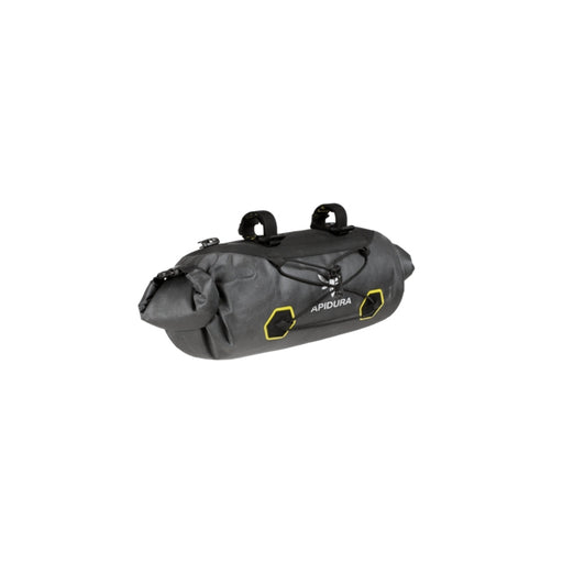
This route starts in the heart of Peterborough close to the cafe district (check out the boro.ca for more information). Secure overnight parking can be found in the King Street parkade downtown Peterborough. Keep in mind that it is only free on weekends and after 7pm on weekdays. Before setting off, be sure to stop into Wild Rock Outfitters for last minute gear needs or bike service.
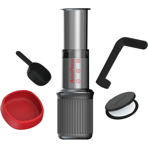
Things You'll Almost Definitely Want To Know:
- Ideal seasonal ride time is July to October
- Plenty of fueling options, General stores, gas stations, towns
- Secure Overnight parking is available for free in King Street Parking Garage in Peterborough
- Don’t underestimate the terrain - expect mild ATV trail, gravel roads
Some Handy Resources To Help With Your Research: